


OpenCities Map Ultimate CONNECT Edition Update 16.3

OpenCities Map Ultimate CONNECT Edition Update 16.3 | 8.2 Gb
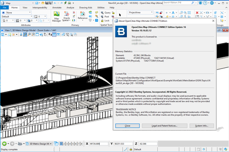
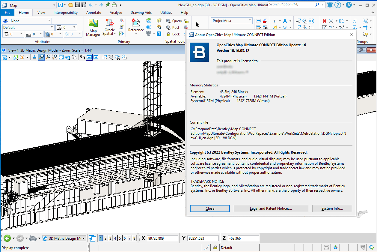
The software developer OpenCities Map is pleased to announce the availability of OpenCities Map Ultimate CONNECT Edition Update 16.3 (10.16.03.12). This release contains many bug fixes and enhancements.
What's new in OpenCities Map Ultimate CONNECT Edition Update 16.3 (10.16.03.12)
The following issues have been corrected and/or added to the OpenCities Map CONNECT Edition Update 16.3, version 10.16.03.12, dated June 02, 2022. Review your Service Request and the Reference # below to see if it has been fixed in this release.
751290 Request to support both simple geometry and geometry collections when matching graphical sources to existing XFM features
751298 In Save As/Batch Convert, add options to apply inference rules, legacy rules to promote DFS to XFM feature
751302 Request key-ins to close and/or toggle Command Manager dialog
751307 Connect existing feature to graphical source
751312 Please provide a SQL-level extension mechanism
751393 Translate Stella Map to English
751447 By Default, request for the Command Manager dialog not open on starting
751939 Same template assigned for Text and Shape element
751943 MS_GEOXFM_SRC_SCHEMA variable not pointed properly to StellaMap.xml
751946 If linear feature is cut in two, other part loses feature data
751948 Using MS_GEOXFM_BORDER_SCALE_DOMAINLIST_FILE variable causing scaling issue in Imperial units
751950 Create area feature from elements creates an Exception Map Ultimate for Finland
751952 An exception occurs after editing the property type of a matched feature
751954 While matching XFM to spatial features the registration wizard can show incorrect information if the process skips through the screens using Back and Next
751959 Path for Workset was ignored in a specific Schema
751962 In Save As/Batch Convert, remove Tags/Items during promote DFS to XFM feature
751966 Oracle error message displayed when program is loading
751975 Exception on Registered Connection where the category name contains an ampersand
752018 "Error (400) Bad Request" seen in a specific WFS Server URL
752029 Domain values change after selecting a feature and choosing the Edit option when the data type is nchar
752037 Getting an Unhandled Exception with a specific DGN File
752040 Feature class inferred from XFM native collection feature instance has display name with "_Collection" suffix
752043 In the Properties dialog, when viewing component element of a collection feature instance, the parent feature name does not have the _Collection suffix so it has same name as component feature
752052 MS_GEOIMPORT_PATH and MS_GEOEXPORT_PATH are not working with GDI key-ins
752058 Export to Shapefile directory causes an Exception with this dataset
752065 Changing the schema name after the schema is created can lead to a missing workset
752066 Posted Annotation re-queries in different location from South Africa
752070 Does not export elements from a reference as-expected
752078 Export to Shapefile with Russian Text produces bad results
752081 Inserted Attribute and double backslash appear in the message center
752084 Topology option is set back to the default value after two consecutive File | Close
752091 .inc file created on a version 10.7.1 workspace missing values once converted
752094 Stella Map converting from DGN to DWG filled shapes issue, resolved
752106 Schema Location label is not translated
752108 Print models created using custom print templates from a Map Definition produce an empty Map Manager layer list
752112 Getting an Exception from a spatial database query because of a missing cell
752231 The Add User Workset description is not considered in this case
752232 For Point-Text features, the GSA Schema-defined Scale value is not recognized
752238 DWG output of the print model does not show the legends text
752432 Specific GML issue during import
752530 Load by Selection to Data Browser not showing valued (spatial databases-only)
752582 Modify the Exception message on Export to GML when there is no Coordinate System
752689 It should preserve the dialog open/close status as it does for positioning and sizing
752924 Application freezes when placing a road feature using the second segment mode
752995 Detect features without Apply Edits service and return them as read only features
753188 Stamp functionality not working
753274 Incorrect display of Topology category in Preferences
756050 Two vertex Line String results to an Exception using Copy Parallel
763278 Rename Schema Workspace / Workset exporting old name
766718 Visibility toggle not honored as user-defined in Map Manager
767233 Error messages about missing setting files
767377 Exception thrown on Detach Reference file with specific dataset
774268 Legend window does not appear for specific DGN
782452 DGN2DB with reference files causing Error: The Property 'DGN_ID' is read only
782676 Request to add other types of linear elements available for leader-line annotation
782689 When placing Leader-line Annotation, the resulting text is upside down
785408 Specific file throws and Exception after zoom in-out, and pan view
785469 An ESRI File Geodatabase registered connection operation fails
787529 .NET Framework Error on File Open
796608 Fence File on Polygon Collection with Pattern Area give unexpected results
798565 Drop XFM Polygon Collection in Map - "Duplicate current version XFM root-feature element" detected
799286 DGN File will not stay open in Map Update 16, Exception thrown Internal Error "Unknown"
808101 Running Validate Topology on a specific DGN causes Map to throw an Exception
813558 Legacy DFS variable not working anymore as expected, fixed
814782 Provide API to connect to graphical source without showing any forms
814876 GSA-created features matched to a PostGIS database are not querying back into Map
814892 The GSA is not displaying feature properties after a spatial feature has been matched to an existing XFM feature
822976 Generate Zone tool from geozone.mdl always result to 5 distance offset
824653 Occasional Exception thrown when switching workspace and file
847222 When Deleting a feature from the Tree List, it should also update the Command Manager list
847863 Copying a specific feature instance results in Map becoming unresponsive
849143 Adding a Date-tick property results to an Exception with this dataset
849677 Multiple errors when exporting polygon layers to File GeoDatabase
851911 Spatial Feature Matching to XFM Features works with Point Cells, but not Point Text
859762 Buffer operation, Overlay operation throwing an Exception
864633 Add support for OpenCities Map in non-graphic mode, like in V8i
867103 Both Domain Name and ID are visible in the Data Browser
881912 Feature list is not updated correctly in a specific workflow
883298 Edit Properties results in an unexpected Text Annotation Size
884206 Enable support for FME 2022
889137 Placing or Deleting lines takes over a minute with a specific dataset
894330 Enable DYNAMICBASE for the nnn.EsriFileGeoDatabase and OrgStorage .dlls
895135 Values are not inferred when using RGB values from custom line styles
901997 Remove WMTS from the Tech Preview in OpenCities Map Update 16, will publish in Update 17
Keywords:
* DGN2DB - Command line graphical to spatial database tools
* DFI - Dynamic Feature Inference
* FGDB - ESRI File Geodatabase
* GSA - Geospatial Administrator
* MDL - MicroStation Development Libraries
* XFM - XML Feature Modeling
OpenCities Map Ultimate CONNECT Edition Update 16.3
OpenCities Map Ultimate CONNECT Edition Update 16.3

OpenCities Map Ultimate CONNECT Edition Update 16.3
OpenCities Map , an innovative geospatial platform made specifically for MicroStation users. OpenCities Map is built right on top of MicroStation and has a familiar user interface that makes it easy to quickly become proficient in creating powerful GIS models. For Bentley MicroStation users, OpenCities Map is the best way to modernize your existing CAD environment and tap into the power of spatially fueled GIS workflows. It’s easy to use and integrates powerful GIS tools into the MicroStation interface you rely on every day.
OpenCities Map Ultimate provides you with efficient 3D modeling capabilities for documenting and modeling assets in a geospatial environment. You can integrate, process, and stream reality modeling data such as large-scale reality meshes, point clouds, scalable terrain models, and raster data for use in an engineering CAD environment along with a native spatial database connection. OpenCities Map Ultimate enables fast and easy manipulation of meshes of any scale as well as the ability to generate cross sections, extract ground and breaklines, and produce orthophotos, 3D PDFs, and iModels.
Bentley OpenCities Map
Bentley Systems, Incorporated is the global leader dedicated to providing architects, engineers, constructors, and owner-operators with comprehensive architecture and engineering software solutions for sustaining infrastructure. Founded in 1984, Bentley has nearly 3,000 colleagues in more than 45 countries, $500 million in annual revenues, and, since 2001, has invested more than $1 billion in research, development, and acquisitions.
Product: OpenCities Map Ultimate
Version: CONNECT Edition Update 16.3 (10.16.03.12)
Supported Architectures: x64
Website Home Page : www.bentley.com
Languages Supported: english
System Requirements: Windows *
Size: 8.2 Gb
OpenCities Map Ultimate CONNECT Edition Update 16.3
Please visit my blog
Added by 3% of the overall size of the archive of information for the restoration
No mirrors please

![OpenCities Map Ultimate CONNECT Edition Update 16.3]()
Added by 3% of the overall size of the archive of information for the restoration
No mirrors please
OpenCities Map Ultimate CONNECT Edition Update 16.3
